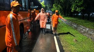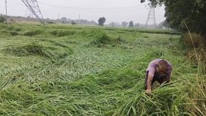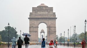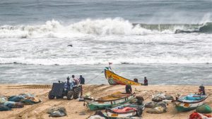






The heavy pre-monsoon rains lashed several areas of Mumbai such as Dadar, Chembur, Kandiwali, Goregaon, Borivali, etc. on Wednesday morning.
The arrival of pre-monsoon rains has provided a significant respite from the heat for the people of the city.
According to data from the Brihanmumbai Municipal Corporation (BMC), the Dadar and Kandivali areas of the city have received approximately 4 millimetres of rainfall.
Meanwhile, the heavy rains caused waterlogging in areas like Gandhi Market in Matunga and parts of Chembur.
Speaking with ANI, one of the residents of the city, Rahul, conveyed, “Although, there is a problem of waterlogging, which will further intensify after the continuous rains, these rains have brought a major relief from the heat. It feels good.”
According to the data of the India Meteorological Department (IMD), a large band of rain is present over the city, predicting rain accompanied by thunderstorms and lighting for the next 3-4 days.
According to the prediction of IMD, the onset of the southwest monsoon in Mumbai will be timely and likely to hit the city around June 10.
Earlier, on Monday, the India Meteorological Department (IMD) said that the southwest monsoon had advanced into some parts of the central Arabian Sea and some parts of Karnataka, Rayalaseema, Coastal Andhra Pradesh, Telangana and West-central and Northwest Bay of Bengal.
“Southwest Monsoon advanced into some more parts of central Arabian Sea, some more parts of Karnataka, Rayalaseema, Coastal Andhra Pradesh, some parts of Telangana and some more parts of Westcentral and Northwest Bay of Bengal, today the 3rd June,” IMD posted on X.
It further said that conditions are favourable for further advance of Southwest Monsoon into the remaining parts of south peninsular India.
“Conditions are favourable for further advance of Southwest Monsoon into remaining parts of south peninsular India, some parts of south Chhattisgarh and south Odisha, some more parts of Westcentral and Northwest Bay of Bengal during next 4-5 days,” it added.
(ANI)