








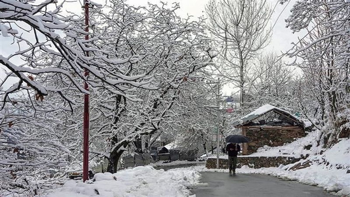
Fresh snowfall and widespread rainfall have caused a sharp drop in temperatures across Himachal Pradesh and Jammu & Kashmir. The India Meteorological Department (IMD) has forecast continued wet and cold conditions in both regions over the next few days.
On April 8, fairly widespread light to moderate rainfall and snowfall is expected, along with thunderstorms, lightning, and gusty winds. Wind speeds may reach 40–50 kmph, with gusts up to 60 kmph in some areas.
The impact of changing weather is already visible in Himachal Pradesh. The Atal Tunnel in Rohtang recorded fresh snowfall, significantly lowering temperatures in the region.
Rainfall was also reported in several parts of Shimla, including The Ridge and nearby areas, indicating a broader shift in weather conditions across the state.
In Jammu and Kashmir, higher reaches such as the Banihal mountains also witnessed fresh snowfall. This has further intensified the cold conditions in the region.
The IMD stated that Jammu and Kashmir will likely continue to receive isolated to scattered light to moderate rainfall and snowfall on April 9 and 10. Himachal Pradesh is expected to experience similar conditions on April 9.
These weather activities may again be accompanied by thunderstorms, lightning, and gusty winds. Wind speeds during this period are expected to range between 30–40 kmph, with gusts up to 50 kmph.
The fresh spell of snowfall in higher altitudes, along with rainfall in lower areas, has contributed to an overall drop in temperatures across both states.
Such weather patterns are typical during this time of year but can affect daily life, especially in hilly regions where snowfall may disrupt road connectivity and movement.
Authorities are monitoring the situation closely. Residents and travellers have been advised to remain cautious due to the expected rainfall, snowfall, and strong winds in the coming days.
(with inputs from ANI)